Many RVers have several roads they want to drive on: the Blue Ridge Parkway, Highway 101, and Route 66 come to mind. However, none of those produce as much fear or excitement as America’s Loneliest Road.
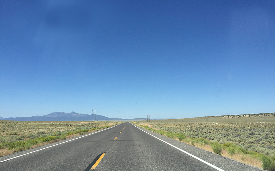
US 50 becomes very lonely when it hits Nevada.
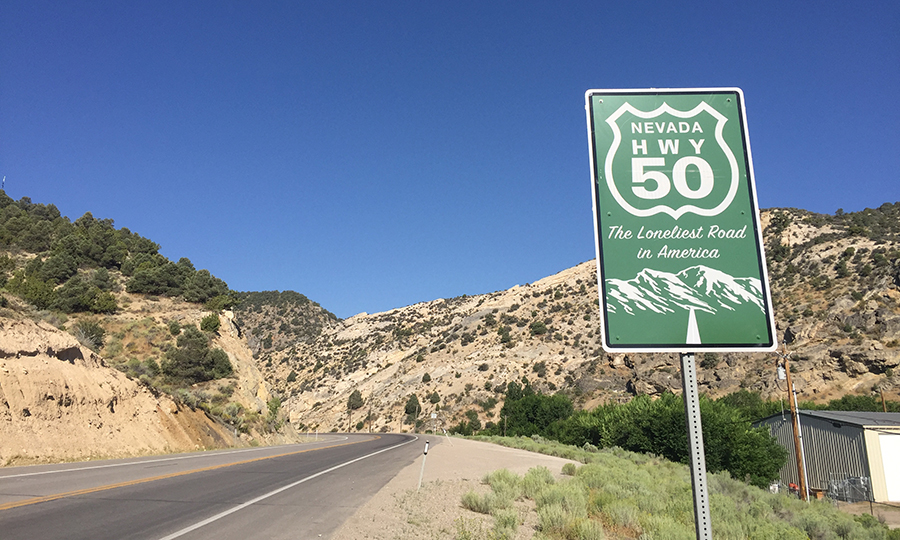
Highway 50 through Nevada was given the notorious moniker in 1986 by Life magazine that recommended its readers have some “survival skills” before attempting to drive it. It’s not as bad as it sounds—you just need to be prepared for it.
Highway 50 runs through high desert and over 17 mountain passes.
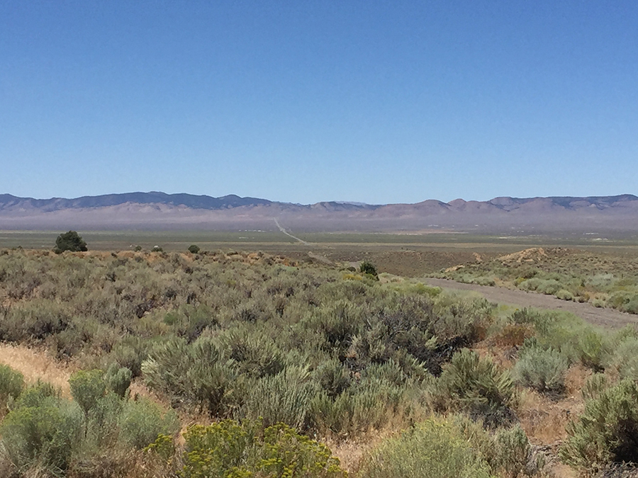
US 50 meanders through much of the U.S. on its way to the California coast. While it can be lonely in many areas, the Nevada portion sounds pretty bleak. Along the 287 mile stretch, there are very few towns, services, repair shops, or rest stops, and quite a lot of high desert, sagebrush, and wide blue sky.
Traffic is not an issue on the Loneliest Road in America.
Kiddo27, CC BY-SA 4.0, via Wikimedia Commons
RVers will also travel over 17 mountain passes, through six counties, and through several small towns including Austin and Baker, which is close to the state’s only National Park—Great Basin National Park. Highway 50 also follows the original Pony Express National Historic Trail and Overland Coach routes.
Gas up in every town you drive through.
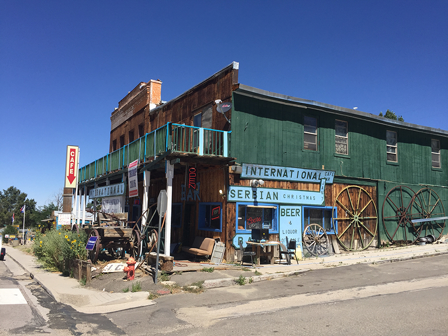
Each of the towns on the Nevada portion of Highway 50 are about 70-80 miles from each other. Play it safe and gas up whenever you can, no matter what the cost. There are very few places to fuel up your body. Fallon or Ely will have the largest selection of stores and restaurants.
These lonely towns also offer places to stop and stretch your legs. Along the way, you can also check out the petroglyphs at Hickison Petroglyph Recreation Area (free, dry camping is available) near Austin and Sand Mountain near Fallon.
Check out State Route 722, an even lonelier road.
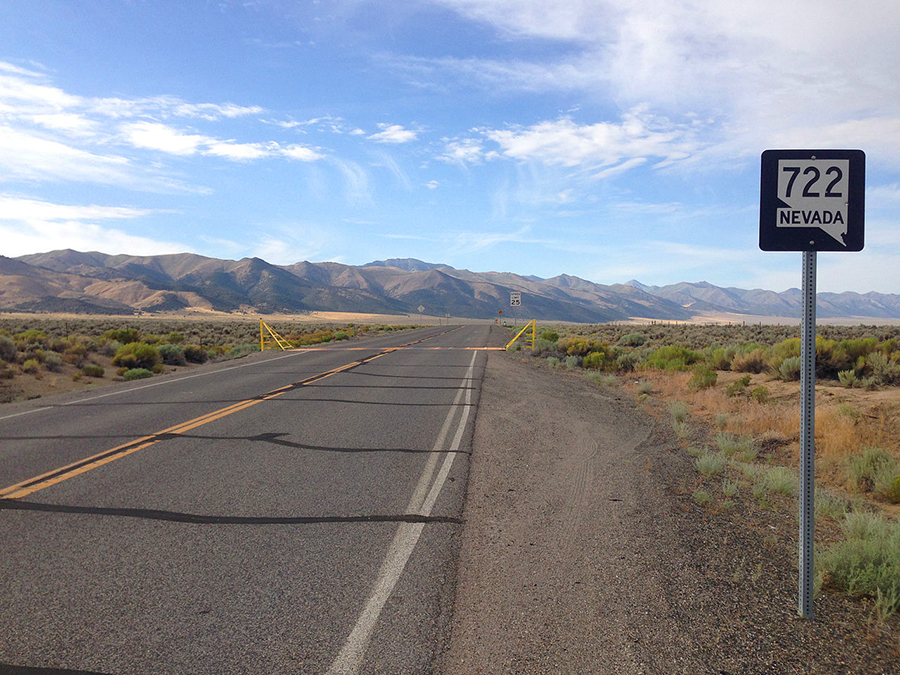
Nevada State Route 722 (or “Old Highway 50”) runs parallel to Highway 50 from Eastgate to Austin and offers about 65 miles of beautiful mountain and canyon views. There are absolutely no towns or services on this road, but there are plenty of BLM (free) parking areas.
Get your “Loneliest Road Survivor” passport stamped.
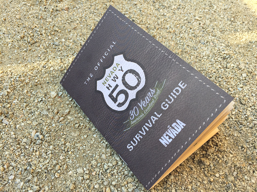
Make the Loneliest Road a game by picking up “The Official Nevada Highway 50 Survival Guide” at several locations along the Highway. The guide lists the local businesses and visitor centers where you can get your passport stamped.
When you collect all the stamps you can send your passport into Travel Nevada to receive an official certificate certifying that you survived traveling the Loneliest Road in America.