The National Park System just got a little bigger with the addition of three new national monuments for the public to enjoy.
More than 1.8 million acres of California desert is now protected with the creation of three national monuments:
- Castle Mountains
- Mojave Trails
- and Sand to Snow
The new monuments will connect three existing sites — Death Valley National Park, Joshua Tree National Park and the Mojave National Preserve — to create the second-largest desert preserve in the world.
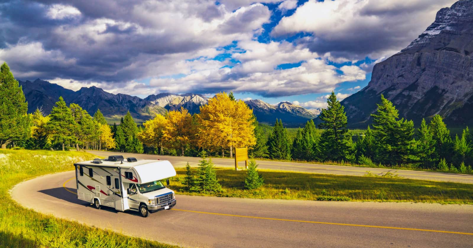
Bob Wick of the Bureau of Land Management, Public domain, via Wikimedia Commons
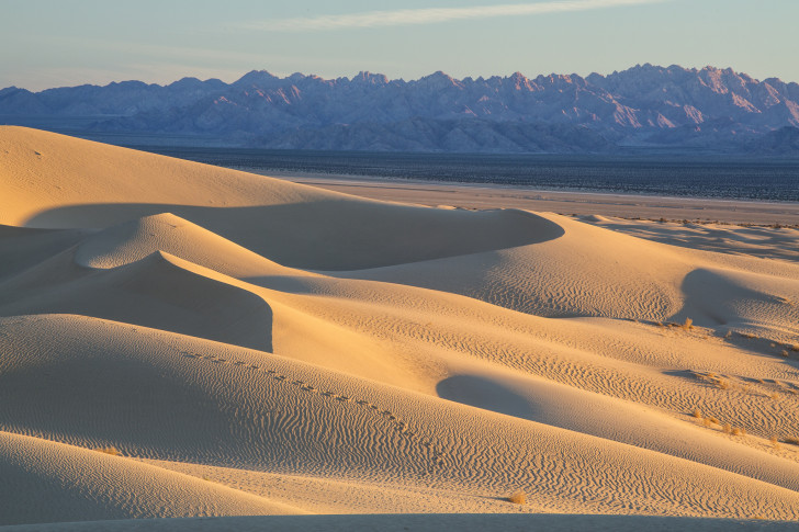
The areas encompass impressive lava flows, sweeping sand dunes, native grasslands, Joshua tree forests, narrow ribbons of wetlands wedged between towering cliffs, historic roadways and ancient fossil beds.
They are also home to species that thrive despite the scorching sun and lack of rainfall. Species like the bighorn sheep, endangered desert tortoises, fringe-toed lizards and more than 240 types of birds.
What does all this mean for those of us who enjoy our national lands?
Well, in addition to safeguarding the landscape and wildlife from climate change and further development, the new monuments guarantee continued public access to these places for generations to come.
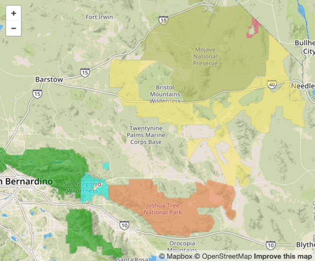
Map of the three new national monuments.
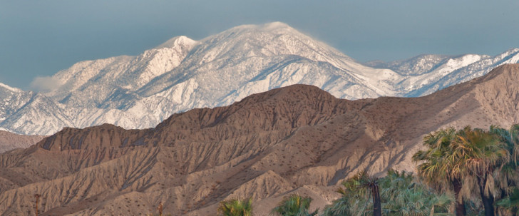
Sand To Snow National Monument
Where Is It?
Comprising 154,00 biodiverse acres that stretch from the desert floor near Palm Springs to the peak of Mount San Gorgonio in the San Bernardino National Forest.
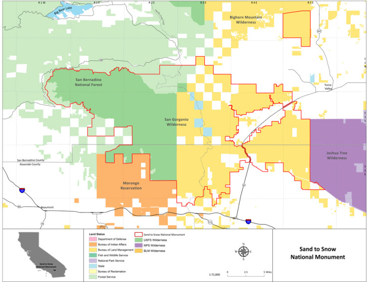
Why Is It Protected?
This area links the San Bernardino National Forest, the San Jacinto Mountains and Joshua Tree National Park, connecting a diverse array of ecosystems and protecting a wildlife corridor that supports more than 240 species of birds and 12 threatened and endangered wildlife species.
It is also home to an an estimated 1,700 Native American petroglyphs and Big Morongo Canyon Preserve, a popular bird-watching destination.
How You Can Enjoy It
From stargazing to skiing, this already popular recreation area is well known for hiking, backpacking, climbing, camping, mountain biking, fishing, hunting, and wildlife viewing.
The Sand to Snow National Monument includes 30 miles of the Pacific Crest Trail, a popular hiking trail that runs from Mexico to Canada. It’s also the home of the “Nine Peaks Challenge” a grueling 27-mile hike that gains over 8,300 feet in elevation across nine peaks.
In the winter months, cross country skiers enjoy the solitude of the San Gorgonio Mountains.
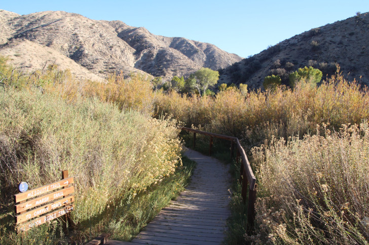
Big Morongo Canyon Preserve by Bureau of Land Management California is licensed under Public Domain Mark 1.0
An established network of forest service trailheads and day use areas lead into the San Gorgonio Wilderness, and a variety of local communities within the monument offer rental cabins, camps and restaurants.
The new monument will be jointly managed by the U.S. Forest Service and the BLM. Together they will develop a management plan with the goal of enhancing the recreational opportunities within the monument.
None of the existing trails, access points, or recreational regulations are expected to change.
For an interactive map featuring trails, camping spots, and access points visit: wildlandsconservancy.org.