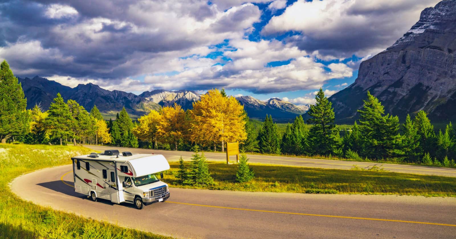
If you are a planner, long before you hit the road you have scoured all corners of the internet to find every last gas station, dump site, presidential childhood home, national park, state park, and “World’s Largest [insert random object here]” that exists on your route, near your route, or at your destination. You have even located a gazillion apps for your smartphone that you can consult to find these particular sights and services along the way.
Opening up your phone, you find a dizzying array of icons with everything from Sanidumps, the app that helps you find dump sites and fresh water; to the ever-popular Allstays Camp & RV which provides everything from Walmarts that let you overnight park to truck stops; or the fantastic RV Parks & Campgrounds Pro which not only tells you where to stay, but lets you filter by amenities, tells you the weather, and calculates ETA; to the lesser-known, but immensely helpful Mountain Directory that tells you all about the percent grades up and down of major highways so you aren’t caught off-guard.
Of course, some apps like the Allstays Camp & RV are very comprehensive and you can turn layers off and on in which you are interested – and that’s great. What those apps can’t tell you are the places that have been recommended to you by friends, family, and the Internet. You know, the things that you absolutely should not pass up, lest your whole trip be a “waste” (at least according to them).
How I Found Out Google Maps Wasn’t The Best Solution
If you are a relatively tech-savvy person, you may be familiar with Google Maps. It’s a great, free app where you can create maps and store them for future use. This is how I started creating my own map with all of the important things I needed, but it wasn’t long before I ran into some problems.
Although I’m more of the random wandering type, I tend to be highly organized when it comes to information. I want it at my fingertips without all of the fuss involved in looking at 6 different apps to see what is near wherever I happen to find myself. I’m far too ADD to keep flipping back and forth between apps.
Once I had it in my mind to assimilate lots of different bits of data, I started plugging in the most important things I wanted to know. It turns out that I had collected a lot of information and I wanted it to be color coded with shapes. Stars meant one thing, squares meant another, diamond shapes meant yet something else. Each shape had its own layer that could be turned off or on.

Then, to further distinguish what I was adding to my map, I added colors to each shape to create subcategories. This allowed me to look at, let’s say boondocking locations and quickly be able to distinguish a gravel turnout from a Walmart from a rest area.
Problem #1
So far, so good. Everything was looking good and I was completely stoked about how it was turning out. That is until I tried to create layer #11. Then, everything hit the proverbial fan. I didn’t know that I was limited to only 10 layers and I had already developed my shape and color scheme plan. There was so much more that I wanted to add, but couldn’t.

Reworking the entire scheme from scratch to limit everything to a single layer would have been excessively time-consuming and would have defeated the entire purpose of having things hyper-categorized, which was the purpose of creating the map in the first place.
I found a not-so-ideal workaround by creating a second map. This allowed me to assimilate a lot of data from multiple sources, but I was still stuck with comparing two maps. The point was to have it all in one place.
The Second Issue
Once I had my two heavily-populated maps complete, I decided that it was time to save them as offline files so that I could access them on my devices without needing a cell or wireless signal.
Well, Google doesn’t exactly make that a possibility. While it is possible to download cities, towns, or regions of the Google street maps, making a complete map of your own design available offline was not something that could be done within the confines of Google My Maps.
Enter Map Plus

A bit of online research led me to a little gem known as Map Plus (GIS Editor + Offline Map + GPS Recorder). It is a super-highly configurable mapping program that will let you design maps just like Google My Map.
What’s better yet is that you can import your Google maps via a KML file, which is how Google will let you export your data – AND it kept my symbol and colors exactly like I had designed them.

So, now I could have all of my data on a single map, just like I wanted. Yippee!!! That was a major relief.

Why Map Plus Is Super-Awesome For RVers
The joy didn’t stop there. I found out that it supported a ton of other map and file types (KMZ, GPX, SHP, TAB, GeoJSON, GDB, MPS, CSV, just to name a few). If those letters don’t mean much to you, let me translate them into practical terms.
You know all of those data points you programmed into your GPS unit while you were on the road? There’s a darned good chance that your device will export that information as one of those file types. How cool is that?
Map Plus also lets you turn on GPS tracking to map a path you took, will let you add photos to your route, draw symbols, measure both distance and area. You can even access your files via a web browser on your desktop computer over WiFi, and create a slideshow of your trip. There are also sharing and export options so you can share your info with others.

All-in-all it’s a fantastic app that will do pretty much anything you need it to. There is a bit of a learning curve to figure out how to navigate it because it can do so much, but it’s worth the effort. They have good documentation that will walk you through whatever you need to know, so you don’t just have to figure it out yourself.
The Map Plus app itself is free and you can do some basic functions with it. You can piecemeal select various upgrades for anywhere from $0.99 for the enhanced map to $7.99 for the enhanced photo features.
I recommend just getting the Full-Function package for $17.99 so you just have the whole app outright and don’t get frustrated when you decide you want a piece that you haven’t paid for. It is one of the best investments I’ve made for my RV travels and I’ve gotten every penny’s worth from it.