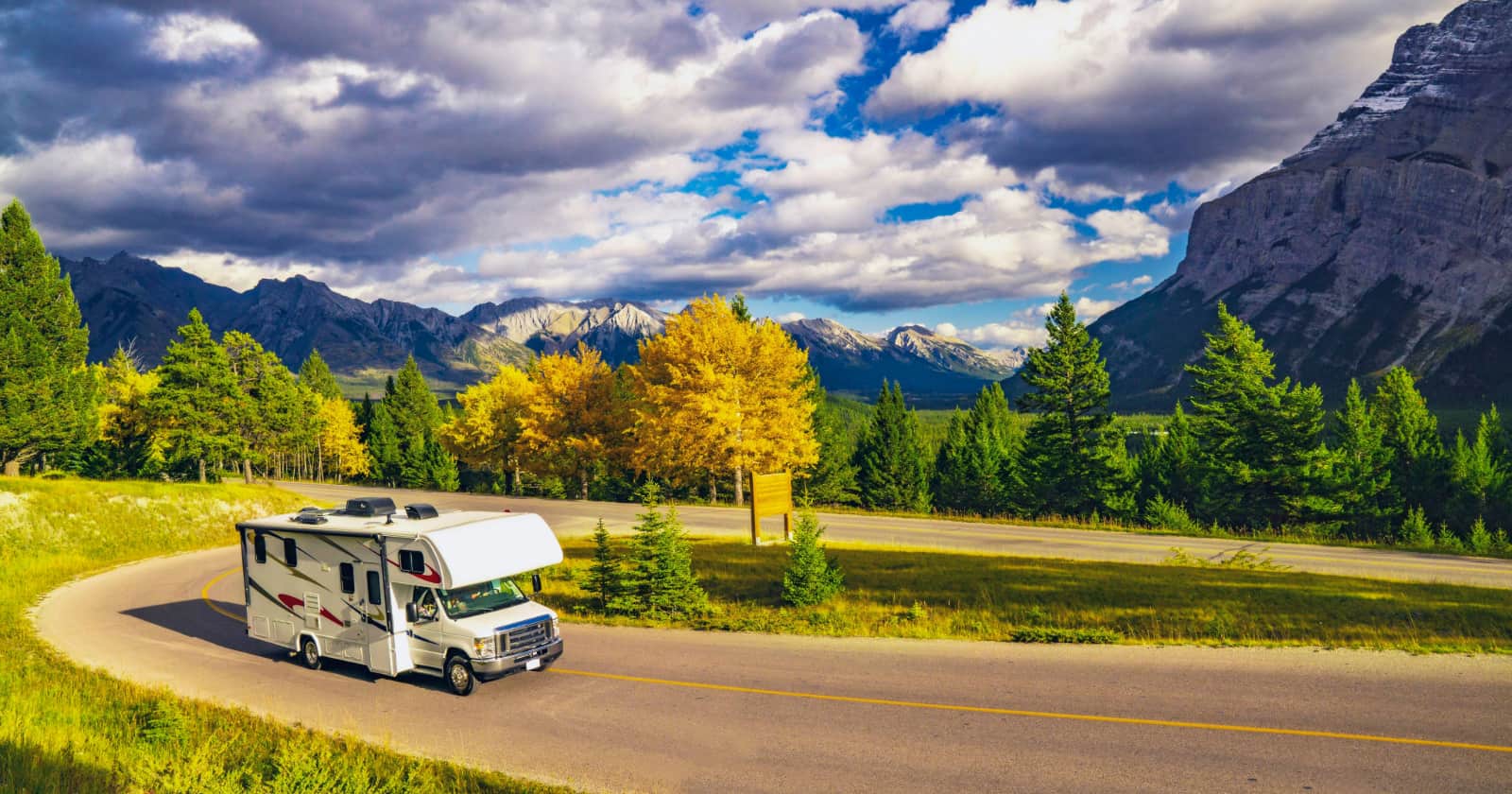
There is something so satisfying about being able to find a campsite that is completely private and away from other people.
Staying outside of campgrounds located in a national park, state park, or private resort is called dispersed camping. This type of camping is usually done on federal public lands such as Bureau of Land Management (BLM) lands, in national forests, or in Wildlife Management Areas (WMA).
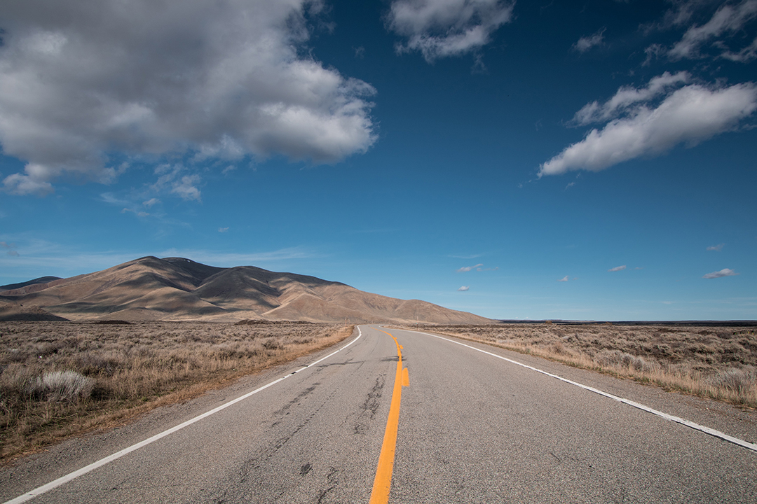
These types of campsites are usually free, away from cities and small towns, and close to popular natural areas.
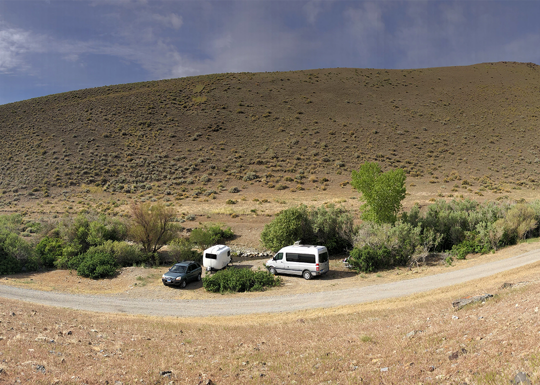
Photo by Christina Nellemann
Because these types of campsites are so remote, they are primarily located in the western part of the U.S. and Alaska. Besides some public forest lands in the southeast portion of the country, most of these campsites will be found west of Colorado, Wyoming, Montana, and New Mexico.
There are many ways to find out where these sites are. Some visitors decide to keep the good sites to themselves and won’t list them online. It’s most likely that if there are good, free, private sites around an area, there are bound to be more and you may find your own special place.
So, how do you go about finding your own secret, secluded places to camp? There are several steps to take and they start with a little research on your computer and end by designing your own adventure.
1. Where do you want to go?
There are a vast amount of locations to visit on our nation’s public lands. The best way to figure out where you want to go is to do a little research first. What kind of terrain and climate do you want to experience? What time of year will you be traveling and what type of weather do you want?
Many of these lands are located in the mountains, deserts, or grasslands and have their own distinct weather patterns throughout the year. Will you be able to handle high altitude, cold nights, hot days, or different types of insects? Remember, these are wild areas without convenient hookups to amenities such as electricity or water.
2. Scout out your spots using maps
Each of the public land organizations have tons of resources on the areas they manage. Check out the great interactive map by the U.S. Forest Service. Their map allows you to search for campgrounds (both free and fee-based) as well as trailheads, fishing spots, ATV and OHV trails, and accessibility features of sites.
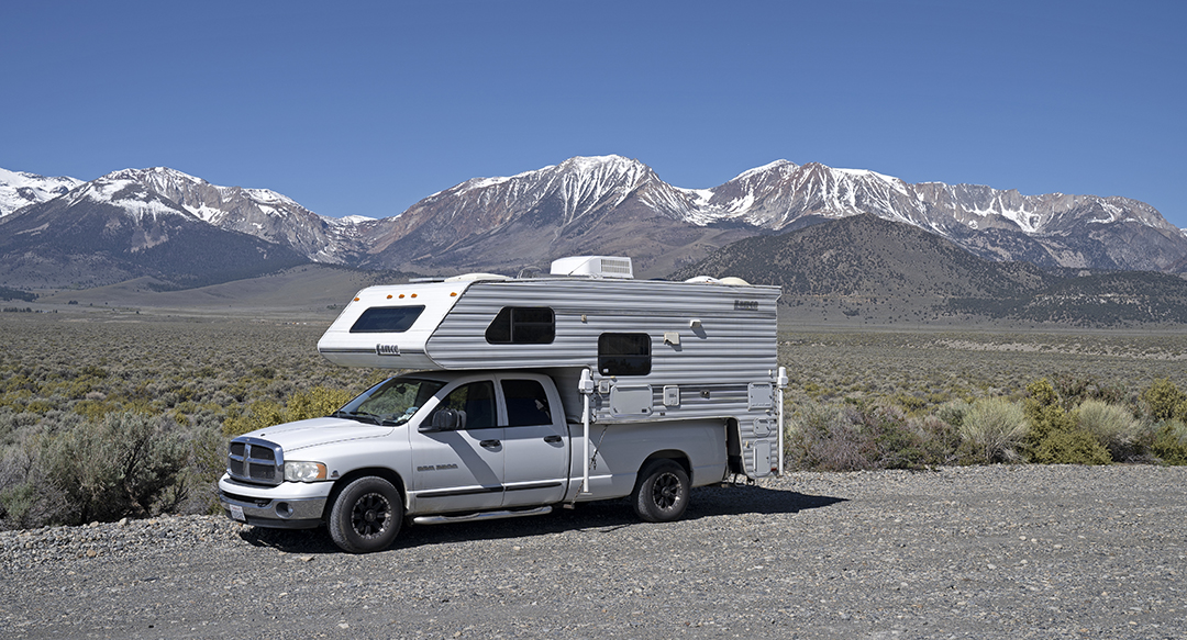
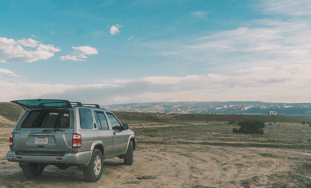
Photo by Christina Nellemann
There are over 500 million acres of national forestlands in the country, so you are bound to find somewhere private or at least extremely secluded. The same goes for the national grasslands search option on the U.S. Forest Service website. The Bureau of Land Management also has a great website and search function for its 245 million acres of land.
You can also search for campgrounds and read what other RVers have said about the area on CampgroundReviews.com.
3. Narrow in with Google Earth and Google Maps
Once you have pinned down the area you want to camp and have done your research on the types of dispersed camping allowed in each area, now is the time to get even more intimate with your chosen location. Most of the public lands maps will give you direct GPS coordinates for their camping areas.
Use Google Maps and Google Earth to find those GPS areas and explore the areas with a birds-eye view. Google Maps and Google Earth both show an excellent range of satellite images of public lands and the roads and paths that lead to them.
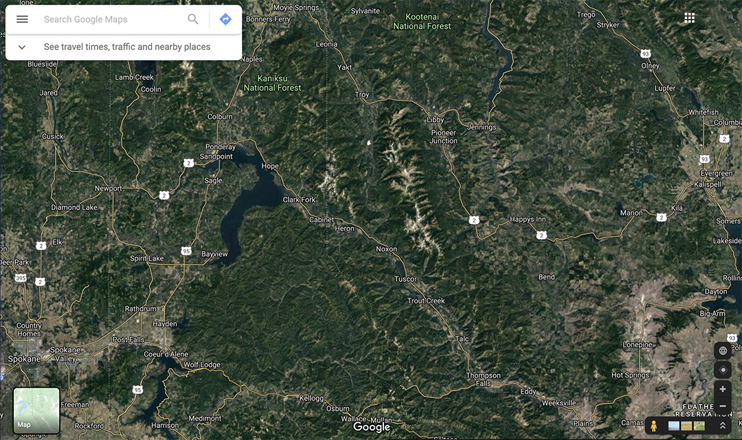
Use Google Maps to find main highways, forest service roads, trailheads, and vehicle pullouts. Also, get in close to see possible turnaround areas or estimate the size of a parking or camping area.
Use Google Earth Pro to get a better idea of the topography of an area. While they are great, Google Maps and Google Earth are limited. They only show photos and satellite images of locations during a specific time of year.
Your perfect high desert spot shot during the fall might be covered with snow during the spring and early summer. In addition, Google Maps and Google Earth footage might be out of date and won’t show new roads or damage caused by last year’s wildfire or mudslide.
4. Learn more about the roads and accessibility
Anyone with a large rig or towing a long trailer knows that knowledge about the roads ahead of time is powerful. For example, Utah has 35 million acres dedicated to public lands, but much of the land is inaccessible by vehicles. There are several ways to get to know more about the areas you will be driving in.
Do a search on YouTube or Google Images for any videos or photos that someone has shot in the area where you want to go camping. Sometimes the organization that manages the area will also have photos or recent road conditions available on their website or via phone.
Use the comprehensive RV LIFE Trip Wizard trip planner to map out your route and learn more about the accessibility. Once you’ve decided on your route, get RV-safe GPS directions to your spot using the RV LIFE App.
5. Plan a reconnaissance mission before camping
If you are not in any hurry to go camping in your chosen spot, you might be able to take some time for a reconnaissance mission to the area. Visit your chosen campsite or camping area without your rig. Drive down your chosen roads and check out the clearance, conditions, and the best, flat sites.
Do these sites already have people in them or do they look like they are heavily used? This is also a good time to find alternative ways to get into your favorite spot or maybe find another spot that looks even better.
6. Create your own secret maps
Let’s say you’ve found your idyllic campsite. It’s next to a creek and has views of snowcapped mountains. However, it has absolutely no cell service. While you might be able to find it again on an online map, sometimes having your own hand-drawn map or directions can be helpful for you or a friend who might want to check it out in the future.
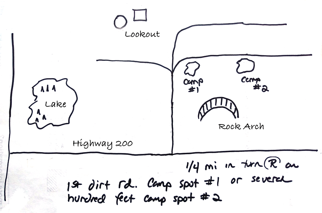
While you are out exploring, take a few notes about the location. Are there some interesting landmarks? Do you drive over any cattle guards or by some old mining equipment? What should the next person keep an eye out for?
Taking a few photos of the site and the roads will be very helpful the next time you want to head out to the middle of nowhere. If you want to keep your spot a secret, keep the map and photos tucked away on your computer or in your files and away from any public forum.